Yellow Nuage@Owleye25
Best Interactive Map With Images .HTML 5 . CSS
Info
Country:
United Kingdom
City:
ESSEX
Member since:
Feb 2021
Last seen:
14 Nov 2024
Achievements
About Yellow Nuage
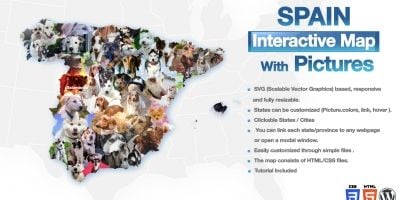
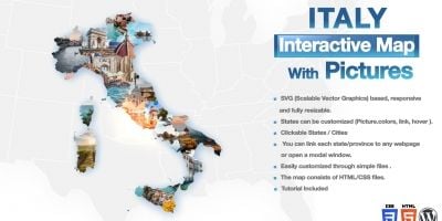
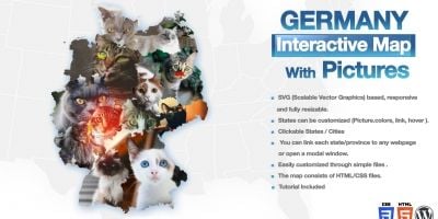
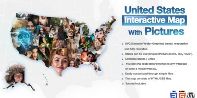
professional looking interactive maps with clickable countries. The map consists of HTML, CSS files. You can customize the map Pictures, links, hover information, etc through simple HTML and CSS files (JavaScript is not required).
. SVG (Scalable Vector Graphics) based, responsive
and fully resizable.
. Tutorial Included
. States can be customized (Picture. colors, link, hover ).
. Clickable States / Cities
. You can link each state/province to any webpage
or open a modal window.
. Easily customized through simple files.
. The map consists of HTML/CSS files.
Items by Yellow Nuage View Shop